
We recently had the incredible opportunity to partner with the BIM Committee at MTA's Bridge and Tunnel Authority (MTA B&T) to develop and showcase some Mixed Reality and Virtual Reality models. The goal was to review the new interior architecture of an existing facility, currently just an exterior shell.
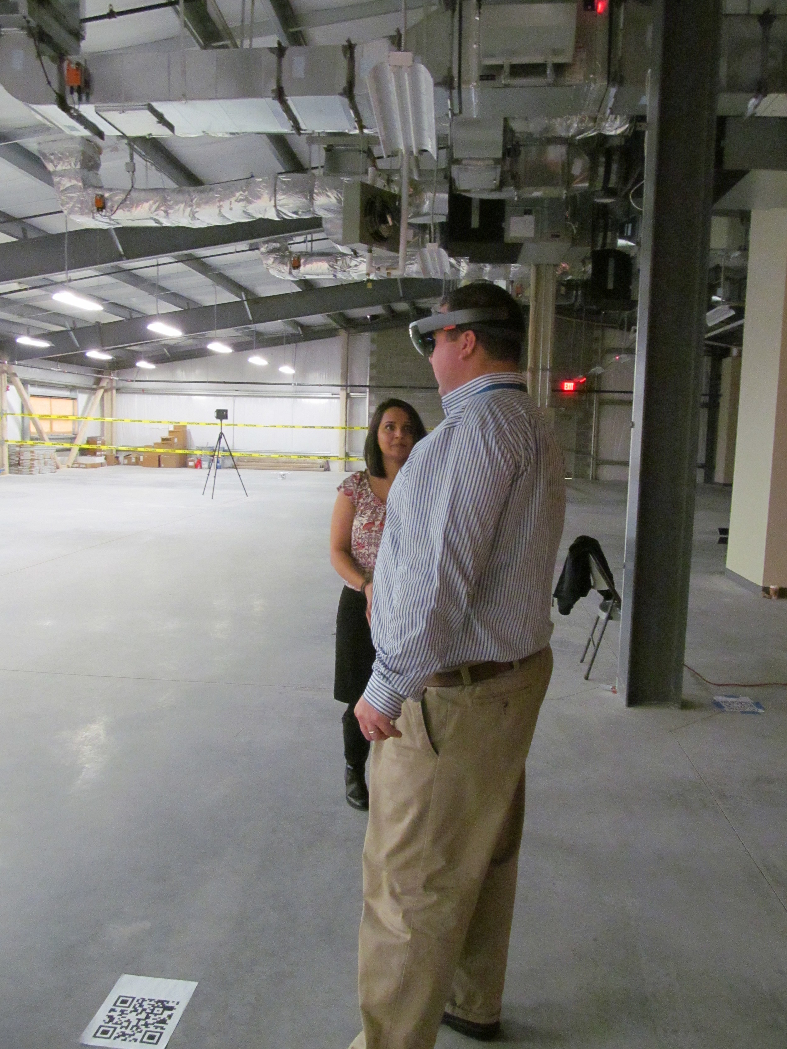
This past Thursday, December 1st, a few members of the LiRo Virtual Design and Construction (VDC) team arrived at a new MTA B&T facility, our HTC Vive, Microsoft HoloLens, drone, Matterport Scanner and VDC presentations in tow. Users of the new space, designers, engineers and IT staff came in groups to view the design in virtual and mixed reality, and get a better feel for the tools integral to virtual design and construction.
Mixed Reality
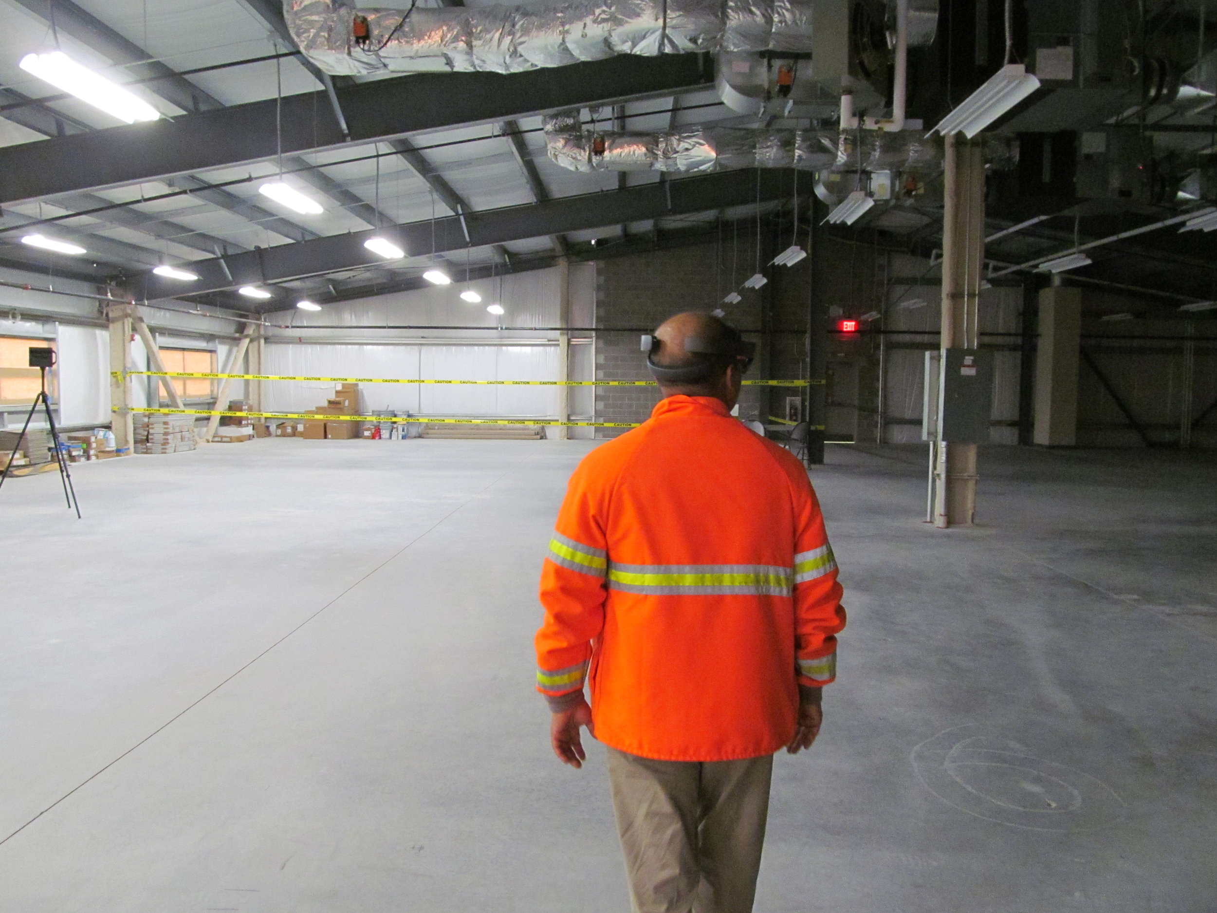
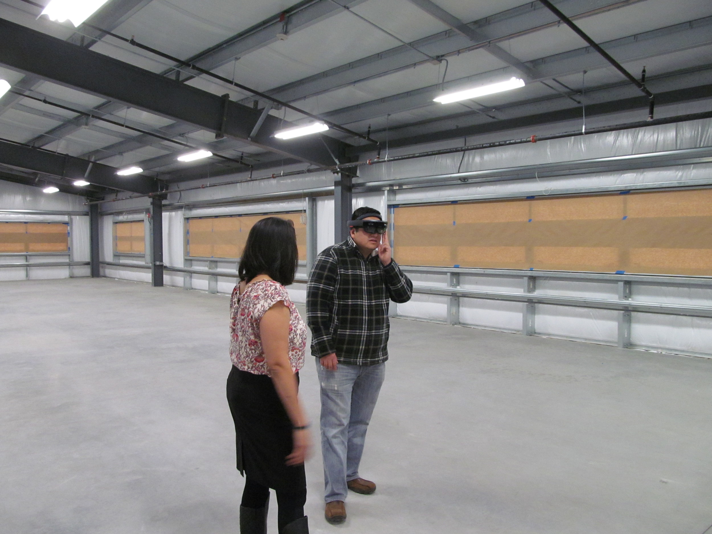
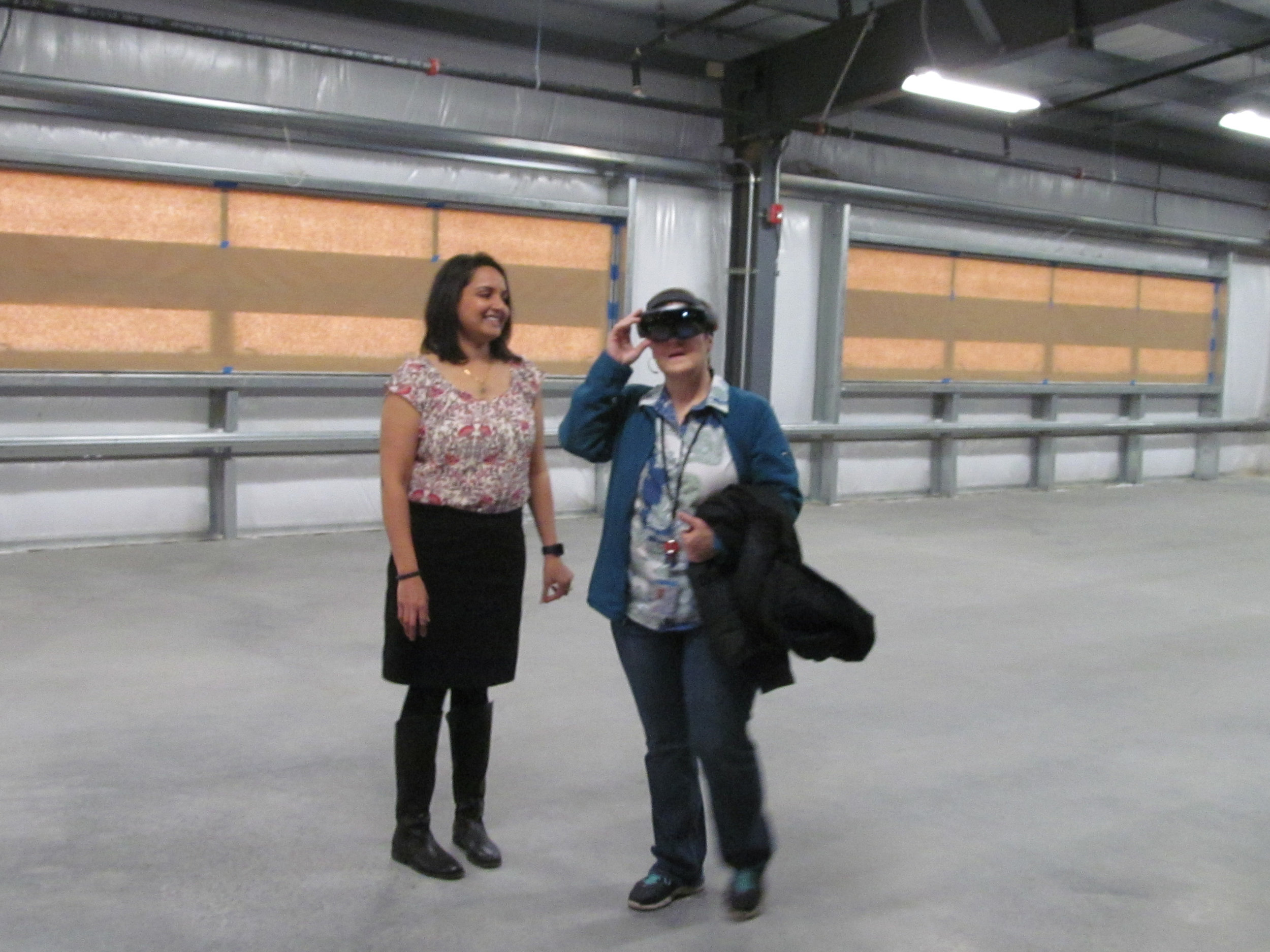
Our developers processed a Revit model so it could be viewed through the HoloLens as a Hologram overlaid in full scale in the actual space. As far as we are aware, this has not yet been accomplished elsewhere. Wearing the HoloLens, MTA B&T staff walked around the raw space and got a good sense of the location and feel of proposed rooms, and how they interface with existing features.
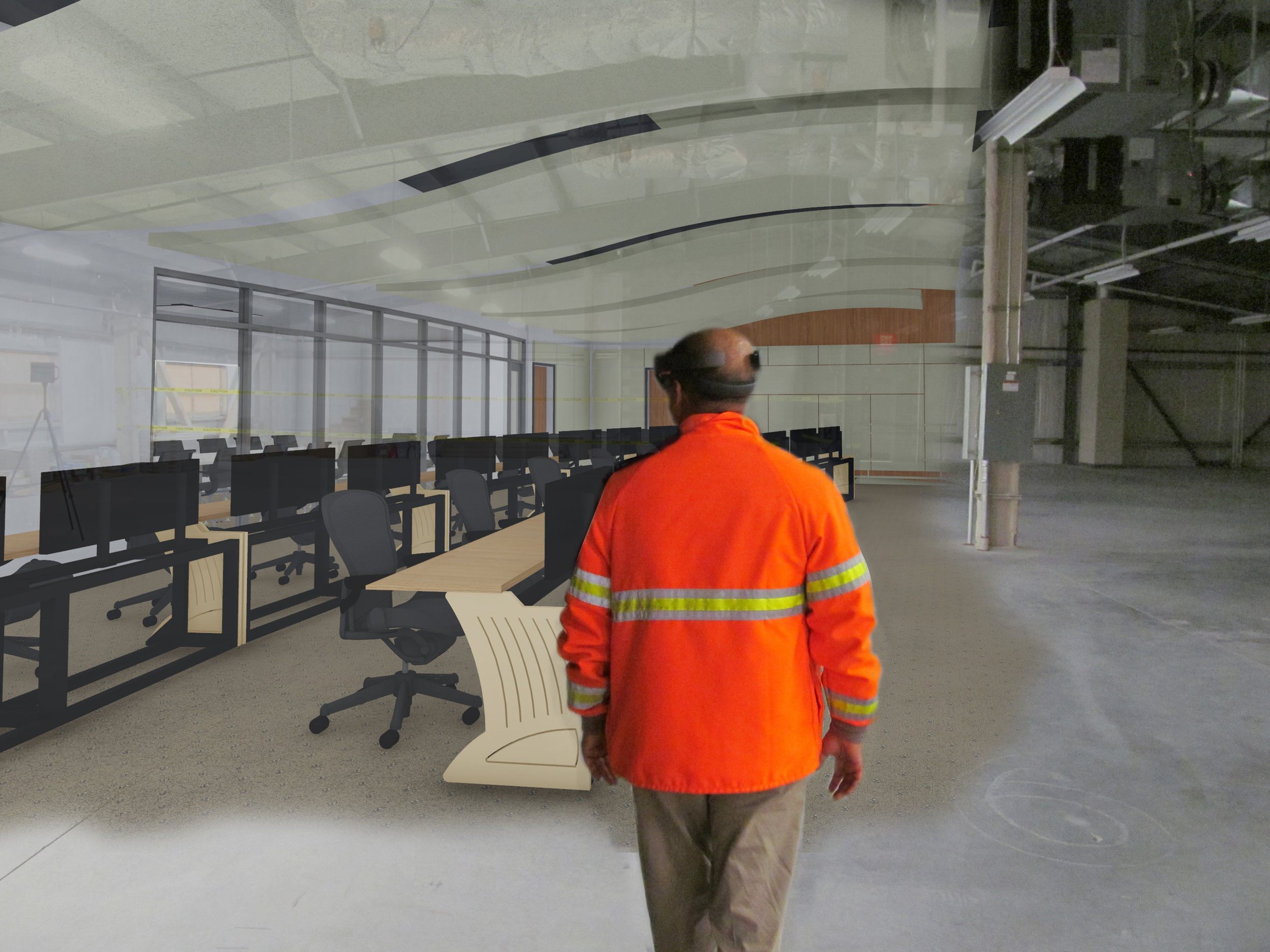
A conceptual montage to illustrate the hologram of a new MTA B&T interior architecture as seen through the HoloLens.
A video captured from the Microsoft HoloLens showing the hologram of the new architectural design overlaid in the real space.
Virtual Reality
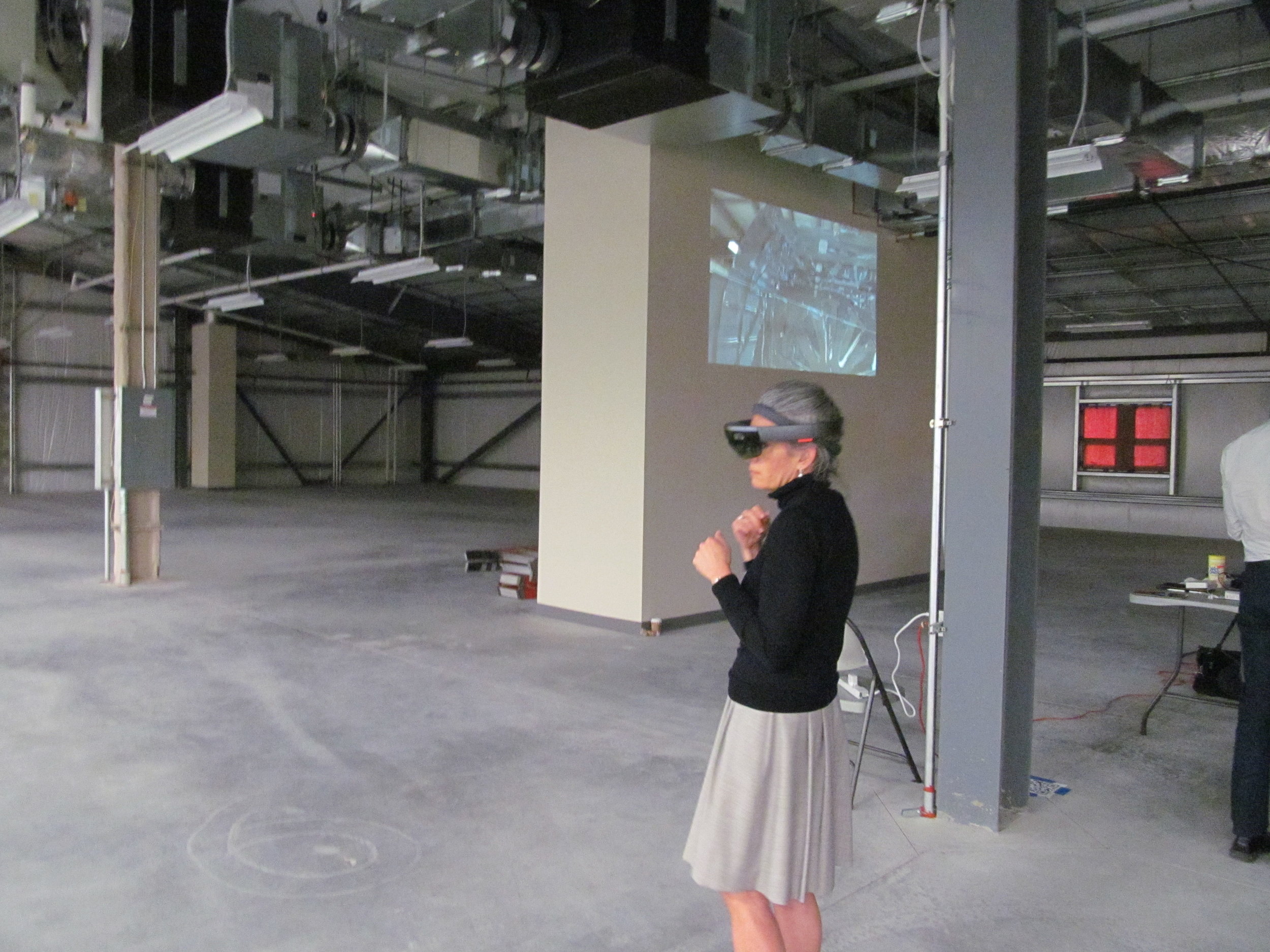
Using a game engine and an HTC Vive, our developers transformed a Revit model into an interactive immersive environment, where users could "teleport" around the space, get a sense of finishes and furniture, and even throw said furniture around the room (just for fun!)
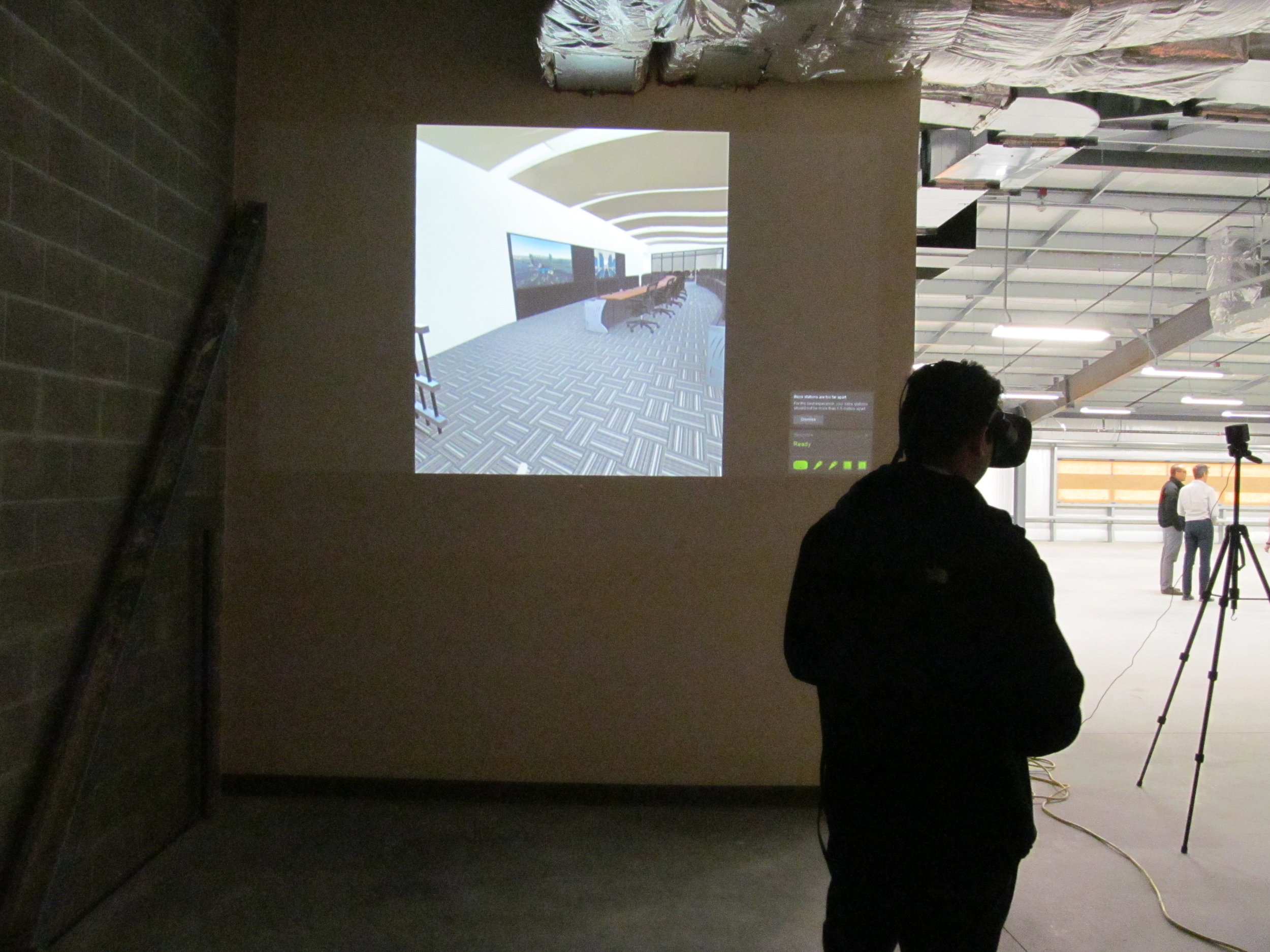

Donning the HTC Vive, an MTA B&T member immerses himself in the VR model, and tests out the furniture-throwing feature.
Reality Capture
There are a few tools that have revolutionized reality capture and surveying. These include aerial drone scanning and the Matterport scanner. We gave demos on how these tools are used and incorporated into virtual design and construction processes.

Demonstrating the Matterport reality capture software and hardware. These tools are used to quickly survey the site by creating a point cloud and a 3D internet-based model.